Low Road
Introduction
The photograph on this page of Low Road by Lis Burke as part of the Geograph project.
The Geograph project started in 2005 with the aim of publishing, organising and preserving representative images for every square kilometre of Great Britain, Ireland and the Isle of Man.

There are currently over 7.5m images from over 14,400 individuals and you can help contribute to the project by visiting https://www.geograph.org.uk
Low Road
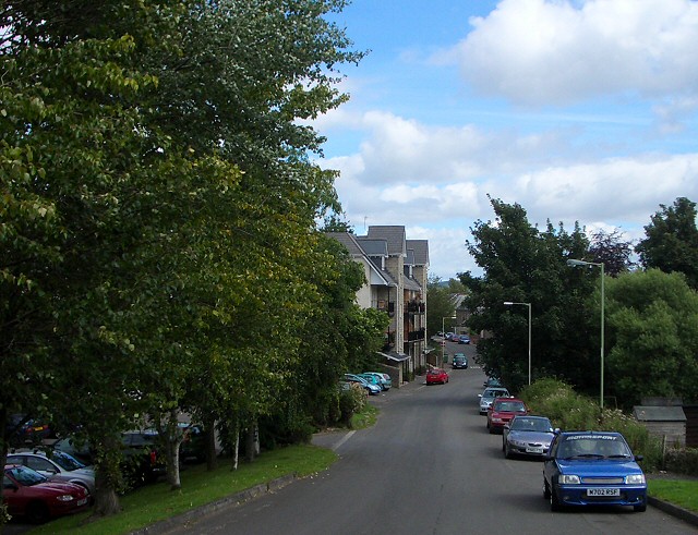
Image: © Lis Burke Taken: 17 Aug 2007
This aptly-named road is well below the level of Glasgow Road to the north. The first floor of houses on this side of Low Road are at street level on the Glasgow Road. The Cherrybank Inn, whose car park is behind the trees to the left, has its entrance at the higher level with a flight of steps up from the car park.
Images are licensed for reuse under creativecommons.org/licenses/by-sa/2.0
Image Location


Leaflet Map data © OpenStreetMap
Latitude
56.386196
Longitude
-3.457616