Ford, Queensbury
Introduction
The photograph on this page of Ford, Queensbury by Humphrey Bolton as part of the Geograph project.
The Geograph project started in 2005 with the aim of publishing, organising and preserving representative images for every square kilometre of Great Britain, Ireland and the Isle of Man.

There are currently over 7.5m images from over 14,400 individuals and you can help contribute to the project by visiting https://www.geograph.org.uk
Ford, Queensbury
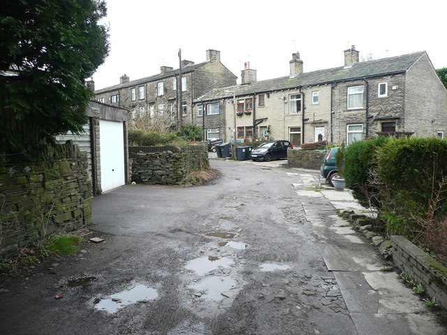
Image: © Humphrey Bolton Taken: 6 Feb 2017
There was presumably a ford here long ago, at the low point of the lane. The 1850 six-inch map shows neither an open stream nor a ford.
Images are licensed for reuse under creativecommons.org/licenses/by-sa/2.0
Image Location


Leaflet Map data © OpenStreetMap
Latitude
53.764197
Longitude
-1.857975