The western end of Ford, Queensbury
Introduction
The photograph on this page of The western end of Ford, Queensbury by Humphrey Bolton as part of the Geograph project.
The Geograph project started in 2005 with the aim of publishing, organising and preserving representative images for every square kilometre of Great Britain, Ireland and the Isle of Man.

There are currently over 7.5m images from over 14,400 individuals and you can help contribute to the project by visiting https://www.geograph.org.uk
The western end of Ford, Queensbury
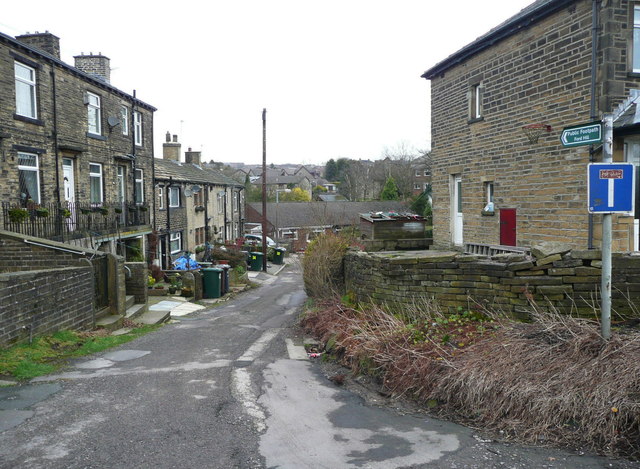
Image: © Humphrey Bolton Taken: 6 Feb 2017
This appears to be the old road, bypassed when the turnpike road was constructed c.1740. The New Dolphin Inn is lined up with this lane rather than the main road, although the building looks 19C, not 18C.
Images are licensed for reuse under creativecommons.org/licenses/by-sa/2.0
Image Location


Leaflet Map data © OpenStreetMap
Latitude
53.763838
Longitude
-1.858432