Field boundary near Hilltown
Introduction
The photograph on this page of Field boundary near Hilltown by Derek Harper as part of the Geograph project.
The Geograph project started in 2005 with the aim of publishing, organising and preserving representative images for every square kilometre of Great Britain, Ireland and the Isle of Man.

There are currently over 7.5m images from over 14,400 individuals and you can help contribute to the project by visiting https://www.geograph.org.uk
Field boundary near Hilltown
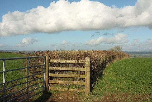
Image: © Derek Harper Taken: 8 Feb 2017
A hedge and fence leading away from the lane between Hilltown and Satterleigh.
Images are licensed for reuse under creativecommons.org/licenses/by-sa/2.0
Image Location
Latitude
50.990413
Longitude
-3.909659