Crossing paths in Hurstpierpoint
Introduction
The photograph on this page of Crossing paths in Hurstpierpoint by Shazz as part of the Geograph project.
The Geograph project started in 2005 with the aim of publishing, organising and preserving representative images for every square kilometre of Great Britain, Ireland and the Isle of Man.

There are currently over 7.5m images from over 14,400 individuals and you can help contribute to the project by visiting https://www.geograph.org.uk
Crossing paths in Hurstpierpoint
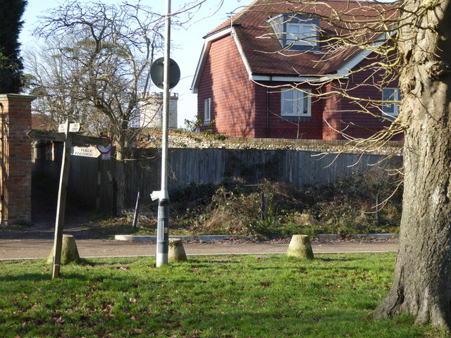
Image: © Shazz Taken: 13 Feb 2017
The path crossing the picture is Pit Lane and the one ahead is West Furlong Lane.
Images are licensed for reuse under creativecommons.org/licenses/by-sa/2.0
Image Location
Latitude
50.931995
Longitude
-0.176599