A467 at Bassaleg
Introduction
The photograph on this page of A467 at Bassaleg by Robin Drayton as part of the Geograph project.
The Geograph project started in 2005 with the aim of publishing, organising and preserving representative images for every square kilometre of Great Britain, Ireland and the Isle of Man.

There are currently over 7.5m images from over 14,400 individuals and you can help contribute to the project by visiting https://www.geograph.org.uk
A467 at Bassaleg
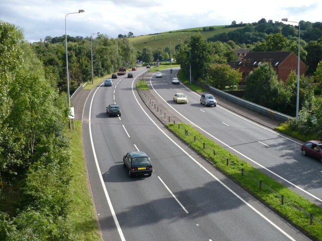
Image: © Robin Drayton Taken: 13 Aug 2007
The southern end of the A467 where it crosses the River Ebbw.
Images are licensed for reuse under creativecommons.org/licenses/by-sa/2.0
Image Location
Latitude
51.576689
Longitude
-3.042416