Field near Hilltown
Introduction
The photograph on this page of Field near Hilltown by Derek Harper as part of the Geograph project.
The Geograph project started in 2005 with the aim of publishing, organising and preserving representative images for every square kilometre of Great Britain, Ireland and the Isle of Man.

There are currently over 7.5m images from over 14,400 individuals and you can help contribute to the project by visiting https://www.geograph.org.uk
Field near Hilltown
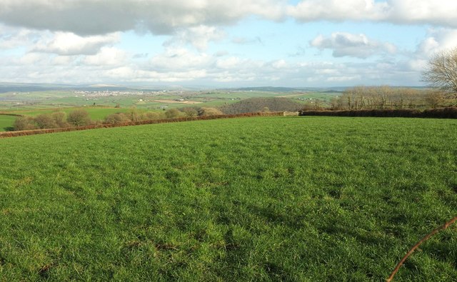
Image: © Derek Harper Taken: 8 Feb 2017
Looking right from where Image] was taken. In the distance is South Molton. The prominent wood right of centre is Vitland Wood on the east slopes of the Bray valley - see Image
Images are licensed for reuse under creativecommons.org/licenses/by-sa/2.0
Image Location
Latitude
50.993696
Longitude
-3.912359