Openshaw Park
Introduction
The photograph on this page of Openshaw Park by Gerald England as part of the Geograph project.
The Geograph project started in 2005 with the aim of publishing, organising and preserving representative images for every square kilometre of Great Britain, Ireland and the Isle of Man.

There are currently over 7.5m images from over 14,400 individuals and you can help contribute to the project by visiting https://www.geograph.org.uk
Openshaw Park
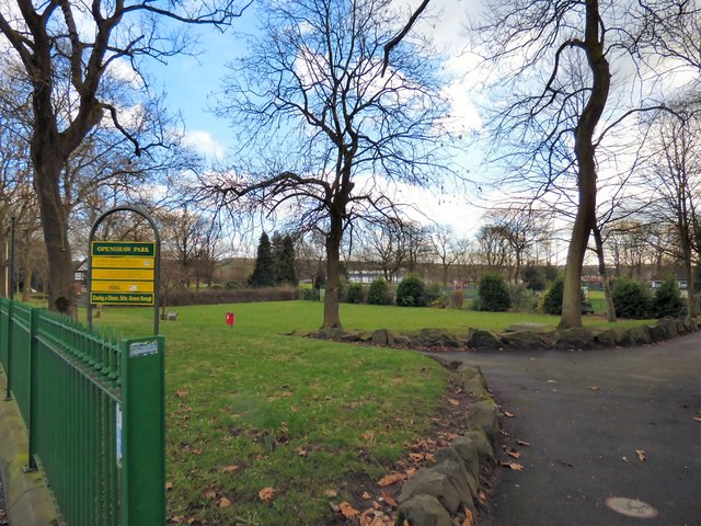
Image: © Gerald England Taken: 4 Feb 2017
Openshaw Park is a local community public park of approximately 5 hectares. It is located just over a mile outside of Bury town centre in an area historically known as Pimhole. Openshaw Park was one of four parks established following a public meeting in 1883, with contributions from Lord Derby, the Lord of the Manor, a public subscription, and, in this particular case, generous contributions of land and money from a local benefactor, Mr Thomas O Openshaw. This and another three parks were opened by the Prince of Wales, HRH Prince Albert Victor, on 21 July 1888. Its facilities include crown green bowling pavilion and greens, children's play area, two multi-play ball zones, one flood-lit and two flood-lit tennis courts. More information is on the council website: http://www.bury.gov.uk/index.aspx?articleid=11202
Images are licensed for reuse under creativecommons.org/licenses/by-sa/2.0
Image Location
Latitude
53.592367
Longitude
-2.280971