Part of a building site, 102, Camley Street
Introduction
The photograph on this page of Part of a building site, 102, Camley Street by John Baker as part of the Geograph project.
The Geograph project started in 2005 with the aim of publishing, organising and preserving representative images for every square kilometre of Great Britain, Ireland and the Isle of Man.

There are currently over 7.5m images from over 14,400 individuals and you can help contribute to the project by visiting https://www.geograph.org.uk
Part of a building site, 102, Camley Street
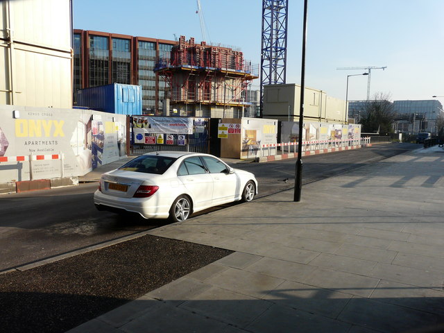
Image: © John Baker Taken: 22 Jan 2017
Planning permission has been granted by Camden Council under application number 2014/4381/P for the “demolition of existing warehouse building (Class B8) and redevelopment for a mixed use building ranging from 8-12 storeys comprising 1,620sqm employment floor space (Class B1), 154 residential flats, the provision of a public ramp access to the Regent’s Canal towpath, and associated landscaping and other works relating to the public realm”.
Images are licensed for reuse under creativecommons.org/licenses/by-sa/2.0
Image Location
Latitude
51.537469
Longitude
-0.130009