Shilstone
Introduction
The photograph on this page of Shilstone by Derek Harper as part of the Geograph project.
The Geograph project started in 2005 with the aim of publishing, organising and preserving representative images for every square kilometre of Great Britain, Ireland and the Isle of Man.

There are currently over 7.5m images from over 14,400 individuals and you can help contribute to the project by visiting https://www.geograph.org.uk
Shilstone
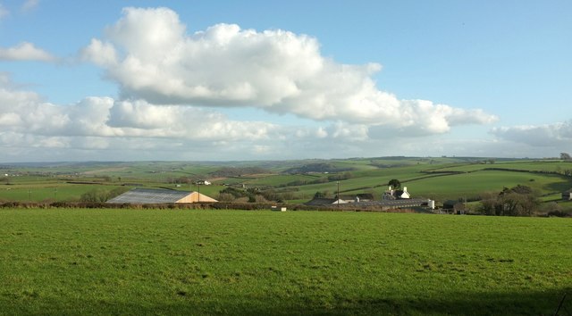
Image: © Derek Harper Taken: 8 Feb 2017
The farm, partly hidden in a dip, seen from the lane past The Wilderness. The old listed farmhouse seems to be out of sight in this view, somewhere to the left of the prominent later farmhouse and the silo tower. The further farm left of centre is South Newton, with a listed farmhouse, in Image; further off again, right of centre, is Broden Hill. Beyond these are the wooded slopes where the Bray valley meets the Mole valley. We are only just over 150 metres above sea level but it is a fine view.
Images are licensed for reuse under creativecommons.org/licenses/by-sa/2.0
Image Location


Leaflet Map data © OpenStreetMap
Latitude
51.00412
Longitude
-3.918347