Converted chapel at Barningham
Introduction
The photograph on this page of Converted chapel at Barningham by Gordon Hatton as part of the Geograph project.
The Geograph project started in 2005 with the aim of publishing, organising and preserving representative images for every square kilometre of Great Britain, Ireland and the Isle of Man.

There are currently over 7.5m images from over 14,400 individuals and you can help contribute to the project by visiting https://www.geograph.org.uk
Converted chapel at Barningham
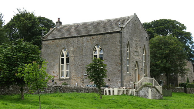
Image: © Gordon Hatton Taken: 17 Aug 2007
Former Wesleyan chapel of c1815, now converted into a dwelling house which has a pleasant view over the green.
Images are licensed for reuse under creativecommons.org/licenses/by-sa/2.0
Image Location
Latitude
54.487436
Longitude
-1.873545