Converted warehouse
Introduction
The photograph on this page of Converted warehouse by Bob Harvey as part of the Geograph project.
The Geograph project started in 2005 with the aim of publishing, organising and preserving representative images for every square kilometre of Great Britain, Ireland and the Isle of Man.

There are currently over 7.5m images from over 14,400 individuals and you can help contribute to the project by visiting https://www.geograph.org.uk
Converted warehouse
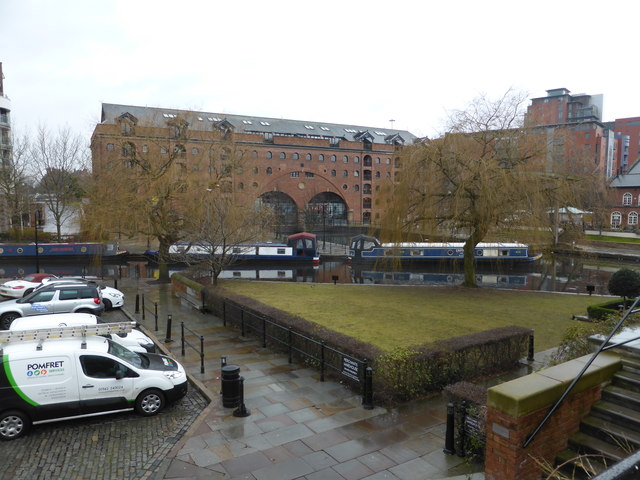
Image: © Bob Harvey Taken: 11 Feb 2017
The warehouse beyond the canal was transhipment warehouse built around 1830. It is a grade II listed building (https://www.historicengland.org.uk/listing/the-list/list-entry/1208653 )
Images are licensed for reuse under creativecommons.org/licenses/by-sa/2.0
Image Location
Latitude
53.473147
Longitude
-2.256077