
Regent?s Canal, ESE of Camden Road bridge
Introduction
The photograph on this page of Regent?s Canal, ESE of Camden Road bridge by John Baker as part of the Geograph project.
The Geograph project started in 2005 with the aim of publishing, organising and preserving representative images for every square kilometre of Great Britain, Ireland and the Isle of Man.

There are currently over 7.5m images from over 14,400 individuals and you can help contribute to the project by visiting https://www.geograph.org.uk
Regent?s Canal, ESE of Camden Road bridge
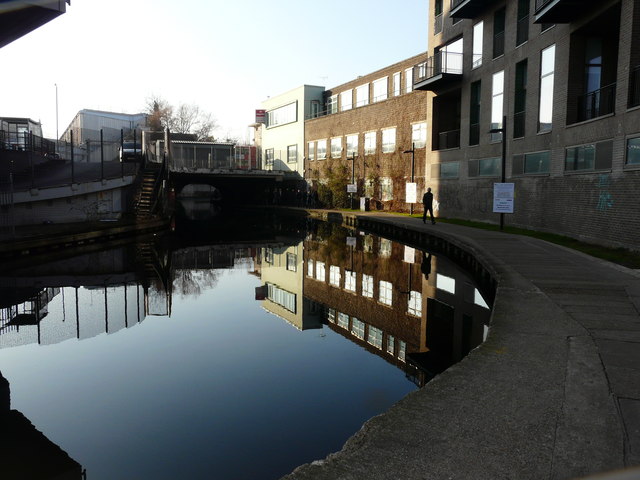
Image: © John Baker Taken: 22 Jan 2017
The Canal & River Trust had attached an “advanced notice” to the lamppost, on the right, which read: “Due to the redevelopment of Camden Lock Village adjacent to the canal and future planned improvements to the canal tow path it will be necessary to close the tow path alongside the construction site to all types of users while these works are carried out. The towpath will be closed from 23rd January 2017 and reopen approximately end of March 2017. Please see the below map for alternative access routes. The map indicated that the towpath would be closed between Camden High Street and Kentish Town Road (during the aforementioned dates) and that the towpath would be open between Kentish Town Road and Camden Road but that there would be no access to exit at Kentish Town Road until approximately mid January ((when a) temporary stair (was going) to be installed). An alternative route for pedestrians would be along Camden Road, Bonny Road, Camden Street, Camden Gardens, Kentish Town Road, Hawley Crescent and Camden High Street. How fortunate I was to miss the closure by a day!
Images are licensed for reuse under creativecommons.org/licenses/by-sa/2.0
Image Location

Latitude
51.54113
Longitude
-0.139665