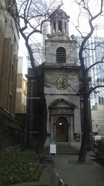
All Hallows-on-the-Wall, west front
Introduction
The photograph on this page of All Hallows-on-the-Wall, west front by Christopher Hilton as part of the Geograph project.
The Geograph project started in 2005 with the aim of publishing, organising and preserving representative images for every square kilometre of Great Britain, Ireland and the Isle of Man.
There are currently over 7.5m images from over 14,400 individuals and you can help contribute to the project by visiting https://www.geograph.org.uk

Image: © Christopher Hilton Taken: 18 Jan 2017
All Hallows-on-the-Wall escaped the Great Fire in 1666, but was rebuilt by George Dance the Younger in 1767; it was subsequently damaged in the Second World War and reopened in the 1960s. Its parish, constrained by the medieval walls of London (remains of which can be seen on the left of the picture) stretches around the north-east quadrant of the City, in places only a few yards wide.

