Barns at Handy Cross Farm
Introduction
The photograph on this page of Barns at Handy Cross Farm by Des Blenkinsopp as part of the Geograph project.
The Geograph project started in 2005 with the aim of publishing, organising and preserving representative images for every square kilometre of Great Britain, Ireland and the Isle of Man.

There are currently over 7.5m images from over 14,400 individuals and you can help contribute to the project by visiting https://www.geograph.org.uk
Barns at Handy Cross Farm
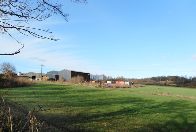
Image: © Des Blenkinsopp Taken: 4 Feb 2017
The area round Handy Cross has become a whole mess of roads and roundabouts and motorways and stuff, but a bit of farming still goes on amongst it all.
Images are licensed for reuse under creativecommons.org/licenses/by-sa/2.0
Image Location
Latitude
51.608134
Longitude
-0.768746