August farmfields in Loscoe
Introduction
The photograph on this page of August farmfields in Loscoe by sheral wood as part of the Geograph project.
The Geograph project started in 2005 with the aim of publishing, organising and preserving representative images for every square kilometre of Great Britain, Ireland and the Isle of Man.

There are currently over 7.5m images from over 14,400 individuals and you can help contribute to the project by visiting https://www.geograph.org.uk
August farmfields in Loscoe
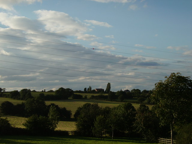
Image: © sheral wood Taken: 13 Aug 2007
This view taken on Loscoe-Denby Lane - to the right Loscoe, to the left Codnor Breach, not in view immediately in front is the children's playing swings etc.
Images are licensed for reuse under creativecommons.org/licenses/by-sa/2.0
Image Location
Latitude
53.025249
Longitude
-1.380781