Loscoe-Denby Lane school
Introduction
The photograph on this page of Loscoe-Denby Lane school by sheral wood as part of the Geograph project.
The Geograph project started in 2005 with the aim of publishing, organising and preserving representative images for every square kilometre of Great Britain, Ireland and the Isle of Man.

There are currently over 7.5m images from over 14,400 individuals and you can help contribute to the project by visiting https://www.geograph.org.uk
Loscoe-Denby Lane school
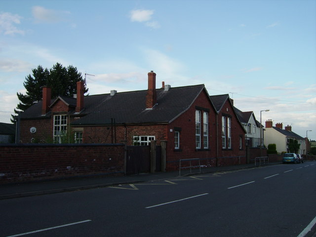
Image: © sheral wood Taken: 13 Aug 2007
Now closed, this primary school has been relocated. Due for demolition and the building of new houses.
Images are licensed for reuse under creativecommons.org/licenses/by-sa/2.0
Image Location
Latitude
53.025052
Longitude
-1.377504