Verge on Roe End Lane
Introduction
The photograph on this page of Verge on Roe End Lane by David Howard as part of the Geograph project.
The Geograph project started in 2005 with the aim of publishing, organising and preserving representative images for every square kilometre of Great Britain, Ireland and the Isle of Man.

There are currently over 7.5m images from over 14,400 individuals and you can help contribute to the project by visiting https://www.geograph.org.uk
Verge on Roe End Lane
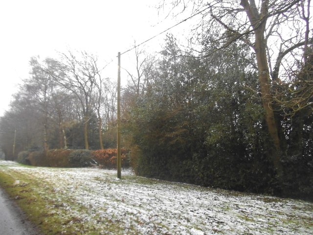
Image: © David Howard Taken: 11 Feb 2017
According to the maps this is a short cut from Cheverells Green to Studham. It isn't, it turns into a path just beyond this point. But it got me a map square which was what I was doing primarily.
Images are licensed for reuse under creativecommons.org/licenses/by-sa/2.0
Image Location
Latitude
51.82904
Longitude
-0.482508