Looking across river to Wilderness Island
Introduction
The photograph on this page of Looking across river to Wilderness Island by Robin Webster as part of the Geograph project.
The Geograph project started in 2005 with the aim of publishing, organising and preserving representative images for every square kilometre of Great Britain, Ireland and the Isle of Man.

There are currently over 7.5m images from over 14,400 individuals and you can help contribute to the project by visiting https://www.geograph.org.uk
Looking across river to Wilderness Island
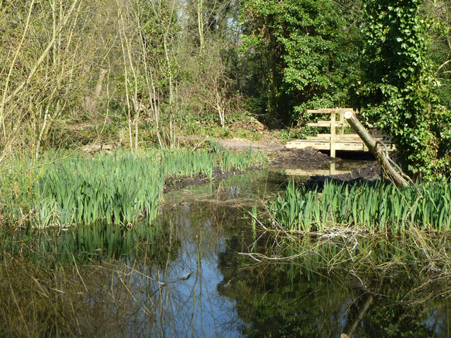
Image: © Robin Webster Taken: 28 Mar 2012
The opposite bank was once an artificial island between the two branches of the Wandle, with several large ponds, originally dug as carp ponds. It is now a nature reserve.
Images are licensed for reuse under creativecommons.org/licenses/by-sa/2.0
Image Location
Latitude
51.373986
Longitude
-0.158518