Field View
Introduction
The photograph on this page of Field View by Anne Burgess as part of the Geograph project.
The Geograph project started in 2005 with the aim of publishing, organising and preserving representative images for every square kilometre of Great Britain, Ireland and the Isle of Man.

There are currently over 7.5m images from over 14,400 individuals and you can help contribute to the project by visiting https://www.geograph.org.uk
Field View
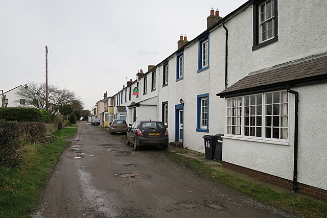
Image: © Anne Burgess Taken: 6 Feb 2017
Field View is the name given to the back road behind the single main street of Port Carlisle.
Images are licensed for reuse under creativecommons.org/licenses/by-sa/2.0
Image Location
Latitude
54.947301
Longitude
-3.186805