West Howe: upwards on footpath U25
Introduction
The photograph on this page of West Howe: upwards on footpath U25 by Chris Downer as part of the Geograph project.
The Geograph project started in 2005 with the aim of publishing, organising and preserving representative images for every square kilometre of Great Britain, Ireland and the Isle of Man.

There are currently over 7.5m images from over 14,400 individuals and you can help contribute to the project by visiting https://www.geograph.org.uk
West Howe: upwards on footpath U25
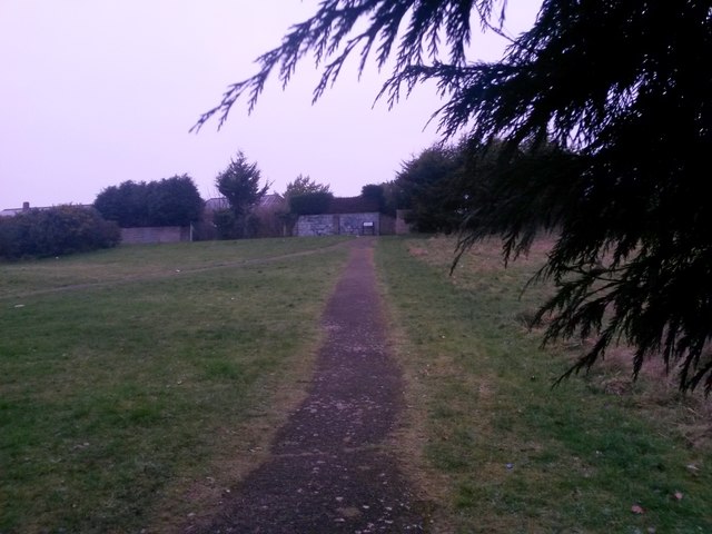
Image: © Chris Downer Taken: 9 Feb 2017
This public footpath heads from Moorside Road to Tedder Road, via this fairly steep section of open space. Just visible heading to the left is another, actually more obvious path which is not designated as a public right of way. See Image for the view downhill from the alleyway ahead, and Image for the continuing path behind us - each with links to further photos on the route.
Images are licensed for reuse under creativecommons.org/licenses/by-sa/2.0
Image Location
Latitude
50.757168
Longitude
-1.905672