West Howe: footpath U25 becomes an alleyway
Introduction
The photograph on this page of West Howe: footpath U25 becomes an alleyway by Chris Downer as part of the Geograph project.
The Geograph project started in 2005 with the aim of publishing, organising and preserving representative images for every square kilometre of Great Britain, Ireland and the Isle of Man.

There are currently over 7.5m images from over 14,400 individuals and you can help contribute to the project by visiting https://www.geograph.org.uk
West Howe: footpath U25 becomes an alleyway
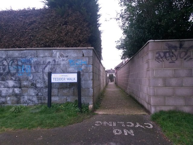
Image: © Chris Downer Taken: 9 Feb 2017
This public footpath has come up across a thin, steep open space and now becomes an alleyway between two houses as it finishes its journey to Tedder Road. Many of the footpaths on the West Howe estate and thereabouts have been given names in the last couple of years, a safety initiative whose intention is that, in the event of calling for help, one's location can be more easily described. This one is named Tedder Walk simply because of the link to Tedder Road. See Image for the next view on the path ahead, and Image for the view behind us - each with links to further photos on the route.
Images are licensed for reuse under creativecommons.org/licenses/by-sa/2.0
Image Location
Latitude
50.757348
Longitude
-1.905813