West Howe: footpath U25 arrives at Tedder Road
Introduction
The photograph on this page of West Howe: footpath U25 arrives at Tedder Road by Chris Downer as part of the Geograph project.
The Geograph project started in 2005 with the aim of publishing, organising and preserving representative images for every square kilometre of Great Britain, Ireland and the Isle of Man.

There are currently over 7.5m images from over 14,400 individuals and you can help contribute to the project by visiting https://www.geograph.org.uk
West Howe: footpath U25 arrives at Tedder Road
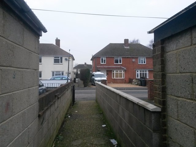
Image: © Chris Downer Taken: 9 Feb 2017
The footpath from Moorside Road has come up the steep open space and now emerges from between two houses onto Tedder Road. See Image for the view towards us, and Image for the next view on the path behind, with links to further photos along the route.
Images are licensed for reuse under creativecommons.org/licenses/by-sa/2.0
Image Location
Latitude
50.757617
Longitude
-1.905812