Culvert on River Wandle backwater
Introduction
The photograph on this page of Culvert on River Wandle backwater by Robin Webster as part of the Geograph project.
The Geograph project started in 2005 with the aim of publishing, organising and preserving representative images for every square kilometre of Great Britain, Ireland and the Isle of Man.

There are currently over 7.5m images from over 14,400 individuals and you can help contribute to the project by visiting https://www.geograph.org.uk
Culvert on River Wandle backwater
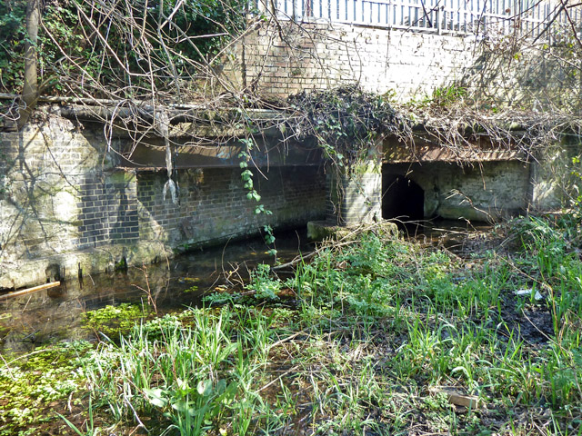
Image: © Robin Webster Taken: 28 Mar 2012
The outlet from a sluice on the main river, which seems to be closed at the moment.
Images are licensed for reuse under creativecommons.org/licenses/by-sa/2.0
Image Location
Latitude
51.385582
Longitude
-0.163945