Footpath near Burn Brae
Introduction
The photograph on this page of Footpath near Burn Brae by Clive Nicholson as part of the Geograph project.
The Geograph project started in 2005 with the aim of publishing, organising and preserving representative images for every square kilometre of Great Britain, Ireland and the Isle of Man.

There are currently over 7.5m images from over 14,400 individuals and you can help contribute to the project by visiting https://www.geograph.org.uk
Footpath near Burn Brae
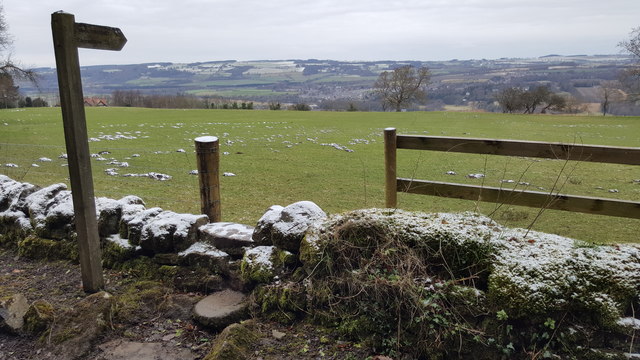
Image: © Clive Nicholson Taken: 10 Feb 2017
The footpath sign indicates quarter of a mile to Ravenstone
Images are licensed for reuse under creativecommons.org/licenses/by-sa/2.0
Image Location
Latitude
54.957139
Longitude
-2.01293