New housing at Huntley
Introduction
The photograph on this page of New housing at Huntley by Pauline E as part of the Geograph project.
The Geograph project started in 2005 with the aim of publishing, organising and preserving representative images for every square kilometre of Great Britain, Ireland and the Isle of Man.

There are currently over 7.5m images from over 14,400 individuals and you can help contribute to the project by visiting https://www.geograph.org.uk
New housing at Huntley
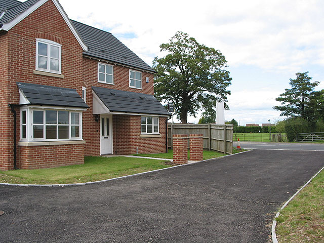
Image: © Pauline E Taken: 16 Aug 2007
A small development of 2 houses on the A40, currently for sale. Across the road is the recreation ground and the footpath sign, with the allotments through the 5-bar metal gate.
Images are licensed for reuse under creativecommons.org/licenses/by-sa/2.0
Image Location


Leaflet Map data © OpenStreetMap
Latitude
51.871583
Longitude
-2.40243