Bunkers, Hainault Forest Golf Club
Introduction
The photograph on this page of Bunkers, Hainault Forest Golf Club by Robin Webster as part of the Geograph project.
The Geograph project started in 2005 with the aim of publishing, organising and preserving representative images for every square kilometre of Great Britain, Ireland and the Isle of Man.

There are currently over 7.5m images from over 14,400 individuals and you can help contribute to the project by visiting https://www.geograph.org.uk
Bunkers, Hainault Forest Golf Club
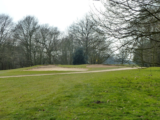
Image: © Robin Webster Taken: 8 Apr 2013
The club has two courses, upper and lower. This is presumably on the upper course, it is certainly one of the highest points.
Images are licensed for reuse under creativecommons.org/licenses/by-sa/2.0
Image Location
Latitude
51.614536
Longitude
0.138501