National Cycle Route 46, Parc Nant-y-Waun
Introduction
The photograph on this page of National Cycle Route 46, Parc Nant-y-Waun by M J Roscoe as part of the Geograph project.
The Geograph project started in 2005 with the aim of publishing, organising and preserving representative images for every square kilometre of Great Britain, Ireland and the Isle of Man.

There are currently over 7.5m images from over 14,400 individuals and you can help contribute to the project by visiting https://www.geograph.org.uk
National Cycle Route 46, Parc Nant-y-Waun
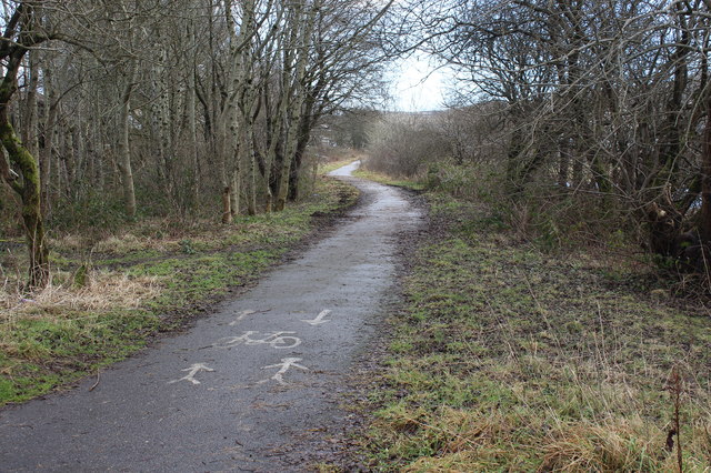
Image: © M J Roscoe Taken: 7 Feb 2017
Cycle/pedestrian path on former railway track bed above Machine Pond.
Images are licensed for reuse under creativecommons.org/licenses/by-sa/2.0
Image Location
Latitude
51.796048
Longitude
-3.188127