Drumcree Parochial Hall, Portadown
Introduction
The photograph on this page of Drumcree Parochial Hall, Portadown by P Flannagan as part of the Geograph project.
The Geograph project started in 2005 with the aim of publishing, organising and preserving representative images for every square kilometre of Great Britain, Ireland and the Isle of Man.

There are currently over 7.5m images from over 14,400 individuals and you can help contribute to the project by visiting https://www.geograph.org.uk
Drumcree Parochial Hall, Portadown
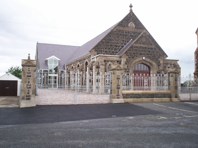
Image: © P Flannagan Taken: 16 Aug 2007
This hall is situated beside the Church of Ireland Parish Church (The Church of The Ascension, Drumcree) and was extensively renovated with a new extension erected at the rear. It reopened for use Spring 2007.
Images are licensed for reuse under creativecommons.org/licenses/by-sa/2.0
Image Location
Latitude
54.438104
Longitude
-6.451854