Residential development, Shellness Road/Wing Road
Introduction
The photograph on this page of Residential development, Shellness Road/Wing Road by John Baker as part of the Geograph project.
The Geograph project started in 2005 with the aim of publishing, organising and preserving representative images for every square kilometre of Great Britain, Ireland and the Isle of Man.

There are currently over 7.5m images from over 14,400 individuals and you can help contribute to the project by visiting https://www.geograph.org.uk
Residential development, Shellness Road/Wing Road
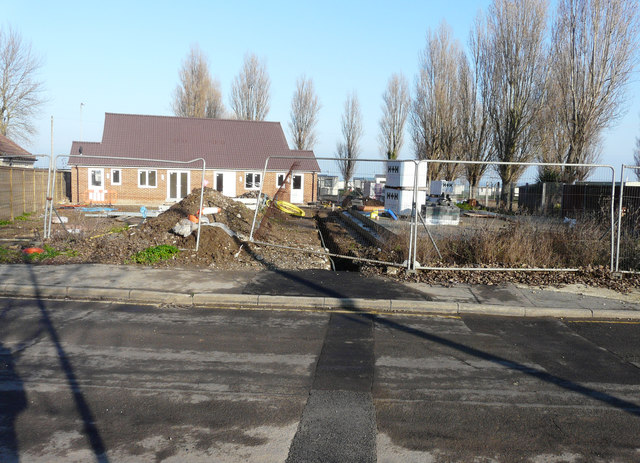
Image: © John Baker Taken: 17 Jan 2017
Planning permission was granted, after an appeal, by The Planning Inspectorate, after Swale Borough Council had refused permission under application number SW/12/1483 for the “residential development of four 2 bedroom and one 3 bedroom single storey dwellings together with all associated driveway parking”. The location was given as land Adjoining Community Hall, Shellness Road/Wing Road. This view is from Wing Road.
Images are licensed for reuse under creativecommons.org/licenses/by-sa/2.0
Image Location
Latitude
51.39573
Longitude
0.925312