Wendover - Wheat Field
Introduction
The photograph on this page of Wendover - Wheat Field by Colin Smith as part of the Geograph project.
The Geograph project started in 2005 with the aim of publishing, organising and preserving representative images for every square kilometre of Great Britain, Ireland and the Isle of Man.

There are currently over 7.5m images from over 14,400 individuals and you can help contribute to the project by visiting https://www.geograph.org.uk
Wendover - Wheat Field
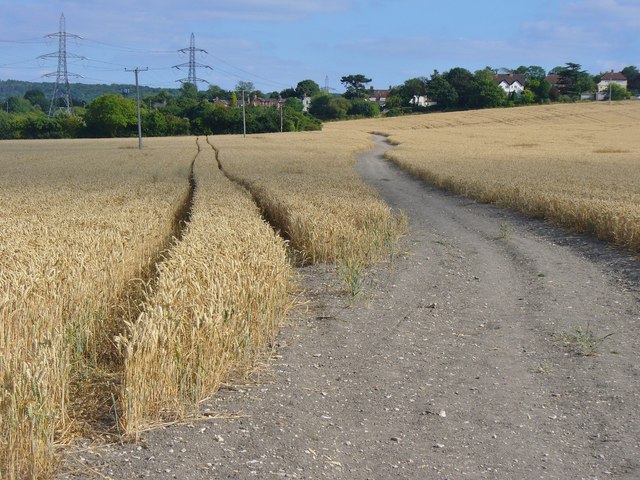
Image: © Colin Smith Taken: 14 Aug 2016
Cereal crop in the southern fringe of the Vale of Aylesbury.
Images are licensed for reuse under creativecommons.org/licenses/by-sa/2.0
Image Location
Latitude
51.764171
Longitude
-0.754652