Western Avenue
Introduction
The photograph on this page of Western Avenue by Patrick Roper as part of the Geograph project.
The Geograph project started in 2005 with the aim of publishing, organising and preserving representative images for every square kilometre of Great Britain, Ireland and the Isle of Man.

There are currently over 7.5m images from over 14,400 individuals and you can help contribute to the project by visiting https://www.geograph.org.uk
Western Avenue
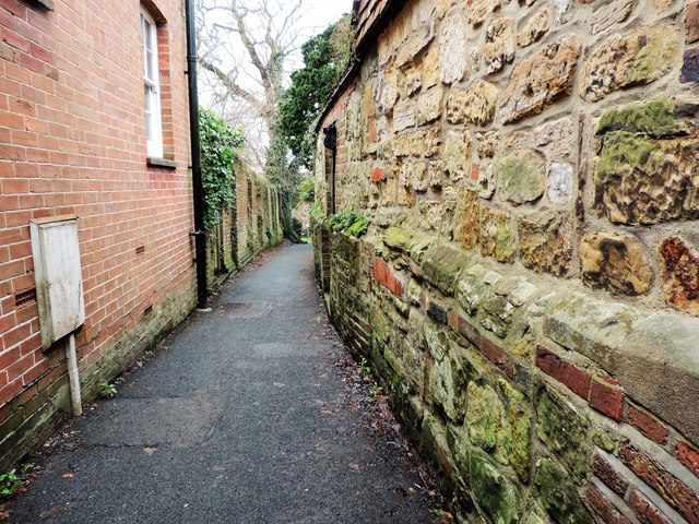
Image: © Patrick Roper Taken: 2 Feb 2017
Western Avenue is a narrow footpath (in local dialect it would be called a twitten) leading from the northern end of Battle High Street. The ancient wall on the right is, presumably, the rear of The Almonry a Grade II Listed Building which houses Battle Museum.
Images are licensed for reuse under creativecommons.org/licenses/by-sa/2.0
Image Location
Latitude
50.917406
Longitude
0.482707