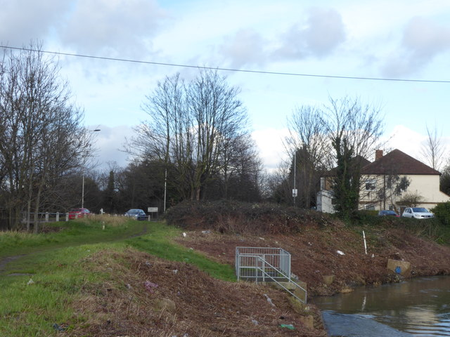
River Roding next to Chigwell Road
Introduction
The photograph on this page of River Roding next to Chigwell Road by Marathon as part of the Geograph project.
The Geograph project started in 2005 with the aim of publishing, organising and preserving representative images for every square kilometre of Great Britain, Ireland and the Isle of Man.
There are currently over 7.5m images from over 14,400 individuals and you can help contribute to the project by visiting https://www.geograph.org.uk

Image: © Marathon Taken: 7 Feb 2017
The River Roding rises near Dunmow, then flows through Essex to form Barking Creek as it reaches the River Thames. For more information see https://en.wikipedia.org/wiki/River_Roding and http://www.londonslostrivers.com/river-roding.html and http://www.telegraph.co.uk/travel/cruises/riversandcanals/9885094/Germaine-Greer-its-time-to-take-care-of-Essexs-rivers.html and http://thelostbyway.com/tag/river-roding This view is looking upriver from an open piece of land next to Chigwell Road. It must be one of the least attractive stretches of the Roding because of all the litter scattered about. I only took the photograph as I wanted one for the square but then discovered a slightly less littered part further south - see http://www.geograph.org.uk/photo/5275148

