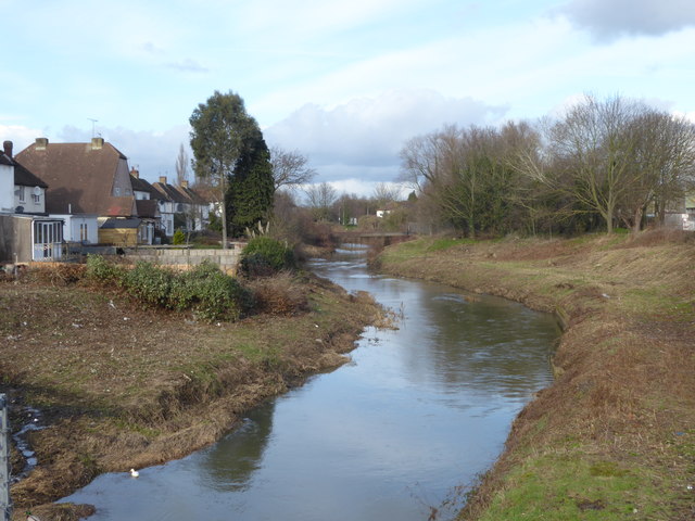
River Roding
Introduction
The photograph on this page of River Roding by Marathon as part of the Geograph project.
The Geograph project started in 2005 with the aim of publishing, organising and preserving representative images for every square kilometre of Great Britain, Ireland and the Isle of Man.
There are currently over 7.5m images from over 14,400 individuals and you can help contribute to the project by visiting https://www.geograph.org.uk

Image: © Marathon Taken: 7 Feb 2017
The River Roding rises near Dunmow, then flows through Essex to form Barking Creek as it reaches the River Thames. For more information see https://en.wikipedia.org/wiki/River_Roding and http://www.londonslostrivers.com/river-roding.html and http://www.telegraph.co.uk/travel/cruises/riversandcanals/9885094/Germaine-Greer-its-time-to-take-care-of-Essexs-rivers.html and http://thelostbyway.com/tag/river-roding This view is looking upriver from the bridge leading from Chigwell Road to the Chigwell Road Reuse and Recycling Centre. It is not the best place to hang around as all the roads are busy but it passed the time while waiting for the once an hour bus on Chigwell Road. For a much more verdant picture taken at the same spot see http://www.geograph.org.uk/photo/2973502

