House on Trinity Hill Rd
Introduction
The photograph on this page of House on Trinity Hill Rd by Nigel Mykura as part of the Geograph project.
The Geograph project started in 2005 with the aim of publishing, organising and preserving representative images for every square kilometre of Great Britain, Ireland and the Isle of Man.

There are currently over 7.5m images from over 14,400 individuals and you can help contribute to the project by visiting https://www.geograph.org.uk
House on Trinity Hill Rd
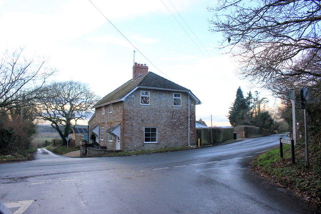
Image: © Nigel Mykura Taken: 27 Jan 2017
This house sits right on the junction of Trinity Hill Rd and Woodhouse Lane. The road on the right goes up to Trinity Hill and the one ahead goes to Musbury.
Images are licensed for reuse under creativecommons.org/licenses/by-sa/2.0
Image Location
Latitude
50.743494
Longitude
-2.987091