The end of Farleigh Rise
Introduction
The photograph on this page of The end of Farleigh Rise by Bill Boaden as part of the Geograph project.
The Geograph project started in 2005 with the aim of publishing, organising and preserving representative images for every square kilometre of Great Britain, Ireland and the Isle of Man.

There are currently over 7.5m images from over 14,400 individuals and you can help contribute to the project by visiting https://www.geograph.org.uk
The end of Farleigh Rise
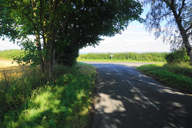
Image: © Bill Boaden Taken: 27 Jul 2016
Currently a shady spot on quite a bright day. The road at the end is Link Lane which links Monkton Farleigh with Kingsdown.
Images are licensed for reuse under creativecommons.org/licenses/by-sa/2.0
Image Location
Latitude
51.393077
Longitude
-2.274036