New houses west of Tingle Bridge
Introduction
The photograph on this page of New houses west of Tingle Bridge by Christine Johnstone as part of the Geograph project.
The Geograph project started in 2005 with the aim of publishing, organising and preserving representative images for every square kilometre of Great Britain, Ireland and the Isle of Man.

There are currently over 7.5m images from over 14,400 individuals and you can help contribute to the project by visiting https://www.geograph.org.uk
New houses west of Tingle Bridge
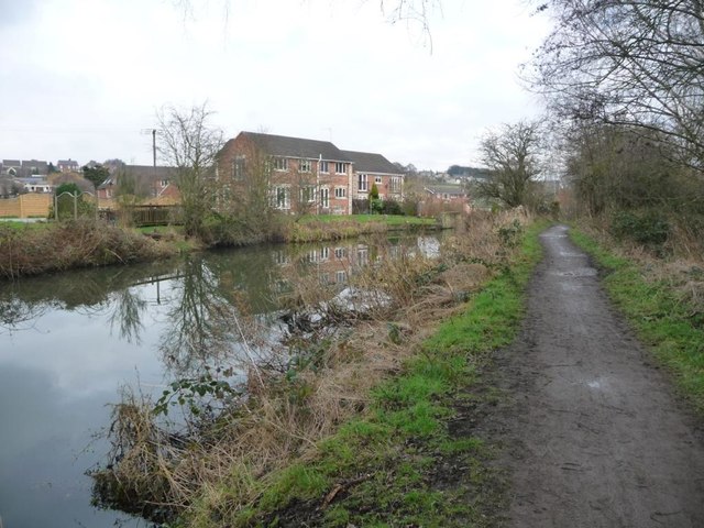
Image: © Christine Johnstone Taken: 5 Feb 2017
On the north bank of the Elsecar branch of the Dearne & Dove Canal, at the site of Tingle Bridge Lock. The canal was built to carry coal from local collieries. It had opened by 1798, at least 30 years before any railway competition. It closed to traffic [due to mining subsidence] in 1928. It was officially closed in 1961. The towpath is well used by walkers and cyclists and a local group is keen to restore the canal.
Images are licensed for reuse under creativecommons.org/licenses/by-sa/2.0
Image Location
Latitude
53.505301
Longitude
-1.407282