Former forest land between the B31 and the river
Introduction
The photograph on this page of Former forest land between the B31 and the river by Eric Jones as part of the Geograph project.
The Geograph project started in 2005 with the aim of publishing, organising and preserving representative images for every square kilometre of Great Britain, Ireland and the Isle of Man.

There are currently over 7.5m images from over 14,400 individuals and you can help contribute to the project by visiting https://www.geograph.org.uk
Former forest land between the B31 and the river
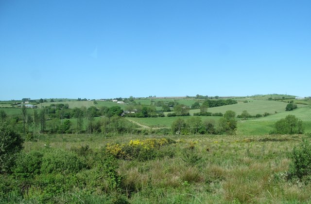
Image: © Eric Jones Taken: 3 Jun 2016
The 2011 Google Street View images of this area shows the freshly cut over nature of the land. http://www.instantstreetview.com/@54.203606,-6.584021,251.53h,6.15p,1z
Images are licensed for reuse under creativecommons.org/licenses/by-sa/2.0
Image Location
Latitude
54.203548
Longitude
-6.585849