Thurcaston Road at Mowmacre Hill
Introduction
The photograph on this page of Thurcaston Road at Mowmacre Hill by Mat Fascione as part of the Geograph project.
The Geograph project started in 2005 with the aim of publishing, organising and preserving representative images for every square kilometre of Great Britain, Ireland and the Isle of Man.

There are currently over 7.5m images from over 14,400 individuals and you can help contribute to the project by visiting https://www.geograph.org.uk
Thurcaston Road at Mowmacre Hill
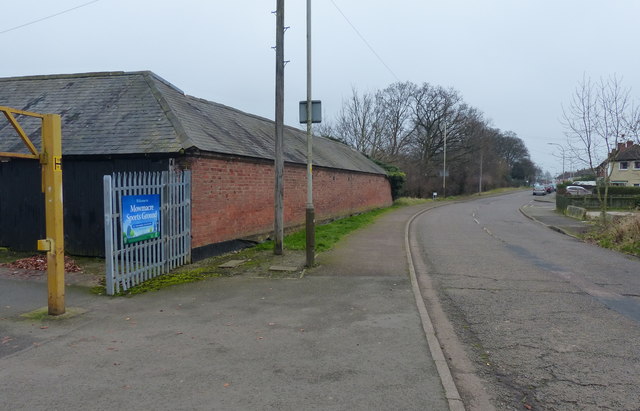
Image: © Mat Fascione Taken: 5 Feb 2017
On the northern edge of the city of Leicester. The building on the left was part of the former Mowmacre Hill Farm, which gave its name to this part of Leicester.
Images are licensed for reuse under creativecommons.org/licenses/by-sa/2.0
Image Location
Latitude
52.670833
Longitude
-1.142087