Housing above Sneinton Hermitage
Introduction
The photograph on this page of Housing above Sneinton Hermitage by Jonathan Thacker as part of the Geograph project.
The Geograph project started in 2005 with the aim of publishing, organising and preserving representative images for every square kilometre of Great Britain, Ireland and the Isle of Man.

There are currently over 7.5m images from over 14,400 individuals and you can help contribute to the project by visiting https://www.geograph.org.uk
Housing above Sneinton Hermitage
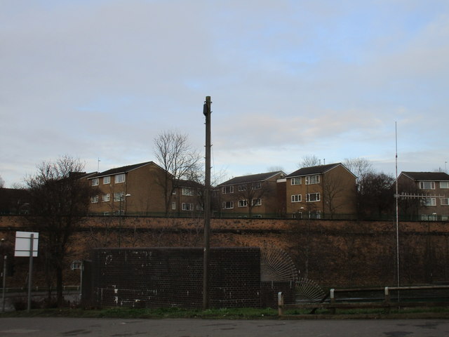
Image: © Jonathan Thacker Taken: 3 Feb 2017
This odd cliff is largely the result of railway activity in the nineteenth century.
Images are licensed for reuse under creativecommons.org/licenses/by-sa/2.0
Image Location
Latitude
52.949171
Longitude
-1.131978