Willeymoor Lane near Bell o' th' Hill, Cheshire
Introduction
The photograph on this page of Willeymoor Lane near Bell o' th' Hill, Cheshire by Roger D Kidd as part of the Geograph project.
The Geograph project started in 2005 with the aim of publishing, organising and preserving representative images for every square kilometre of Great Britain, Ireland and the Isle of Man.

There are currently over 7.5m images from over 14,400 individuals and you can help contribute to the project by visiting https://www.geograph.org.uk
Willeymoor Lane near Bell o' th' Hill, Cheshire
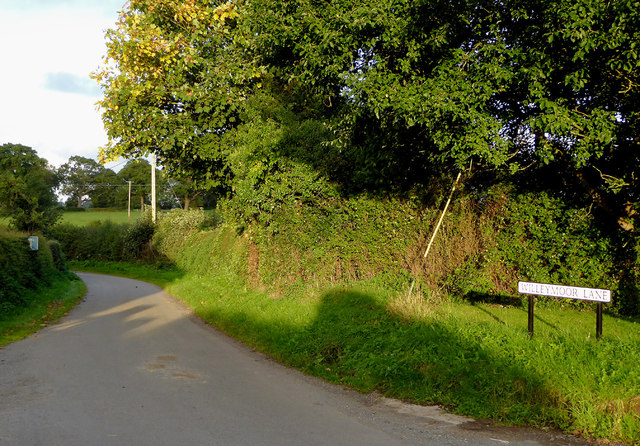
Image: © Roger D Kidd Taken: 22 Sep 2015
Willeymoor Lane is a cul-de-sac serving farms, terminating at Moorside Farm, but continuing unsurfaced (no public right of way) to the A49 at Brookhouse Farm.
Images are licensed for reuse under creativecommons.org/licenses/by-sa/2.0
Image Location
Latitude
53.00365
Longitude
-2.703917