Rural settlement in the Carron Valley
Introduction
The photograph on this page of Rural settlement in the Carron Valley by Eric Jones as part of the Geograph project.
The Geograph project started in 2005 with the aim of publishing, organising and preserving representative images for every square kilometre of Great Britain, Ireland and the Isle of Man.

There are currently over 7.5m images from over 14,400 individuals and you can help contribute to the project by visiting https://www.geograph.org.uk
Rural settlement in the Carron Valley
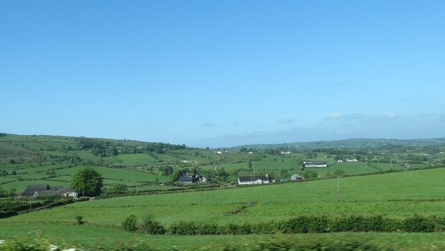
Image: © Eric Jones Taken: 3 Jun 2016
This area known as Irish Corran is an area of improved marginal land on the edge of the uplands. Further downstream in an area of better land is Scotch Corran. The names date from the period of the plantation of Ulster in the first half of the 17th century.
Images are licensed for reuse under creativecommons.org/licenses/by-sa/2.0
Image Location
Latitude
54.247523
Longitude
-6.612573