Former St Francis church rectory
Introduction
The photograph on this page of Former St Francis church rectory by Anthony Vosper as part of the Geograph project.
The Geograph project started in 2005 with the aim of publishing, organising and preserving representative images for every square kilometre of Great Britain, Ireland and the Isle of Man.

There are currently over 7.5m images from over 14,400 individuals and you can help contribute to the project by visiting https://www.geograph.org.uk
Former St Francis church rectory
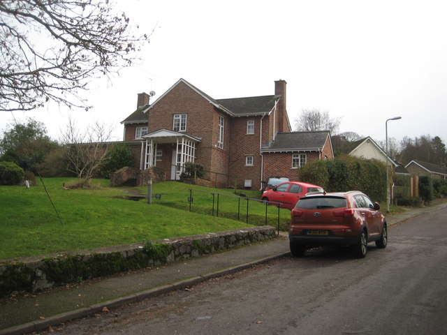
Image: © Anthony Vosper Taken: 4 Feb 2017
Like many parish churches. The ministry to the community is now covered by a team looking after a number of congregations rather than just one. The rectory is now a private dwelling.
Images are licensed for reuse under creativecommons.org/licenses/by-sa/2.0
Image Location
Latitude
50.69471
Longitude
-3.245027