Beckett End Lake
Introduction
The photograph on this page of Beckett End Lake by Jonathan Billinger as part of the Geograph project.
The Geograph project started in 2005 with the aim of publishing, organising and preserving representative images for every square kilometre of Great Britain, Ireland and the Isle of Man.

There are currently over 7.5m images from over 14,400 individuals and you can help contribute to the project by visiting https://www.geograph.org.uk
Beckett End Lake
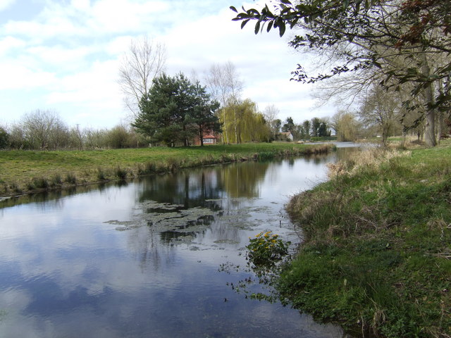
Image: © Jonathan Billinger Taken: 4 Apr 2007
Looking west towards Foulden Hall, the stream has been dammed to create this large fishing lake.
Images are licensed for reuse under creativecommons.org/licenses/by-sa/2.0
Image Location


Leaflet Map data © OpenStreetMap
Latitude
52.556492
Longitude
0.611711