Diversion of Bowbridge Lane
Introduction
The photograph on this page of Diversion of Bowbridge Lane by Jonathan Thacker as part of the Geograph project.
The Geograph project started in 2005 with the aim of publishing, organising and preserving representative images for every square kilometre of Great Britain, Ireland and the Isle of Man.

There are currently over 7.5m images from over 14,400 individuals and you can help contribute to the project by visiting https://www.geograph.org.uk
Diversion of Bowbridge Lane
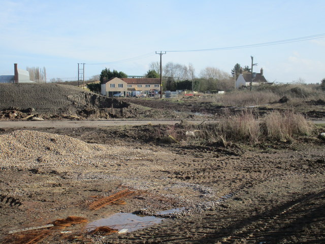
Image: © Jonathan Thacker Taken: 3 Feb 2017
The original route of Bowbridge Lane can be seen crossing the photograph. This is now fenced off and replaced by a diverted Bowbridge Lane which connects into the Newark Southern Relief Road which is at present under construction.
Images are licensed for reuse under creativecommons.org/licenses/by-sa/2.0
Image Location
Latitude
53.050944
Longitude
-0.802024