House on the Viewpoint Road
Introduction
The photograph on this page of House on the Viewpoint Road by Eric Jones as part of the Geograph project.
The Geograph project started in 2005 with the aim of publishing, organising and preserving representative images for every square kilometre of Great Britain, Ireland and the Isle of Man.

There are currently over 7.5m images from over 14,400 individuals and you can help contribute to the project by visiting https://www.geograph.org.uk
House on the Viewpoint Road
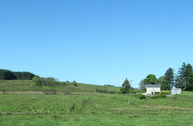
Image: © Eric Jones Taken: 3 Jun 2016
The Viewpoint Road which runs through the Fews Forest links the B31 (Armagh) road with the A29 (Keady) road. The image was taken from the Ulsterbus stop on the B31.
Images are licensed for reuse under creativecommons.org/licenses/by-sa/2.0
Image Location
Latitude
54.225454
Longitude
-6.592153