Path to the Flying Shuttle, Newtown
Introduction
The photograph on this page of Path to the Flying Shuttle, Newtown by Jaggery as part of the Geograph project.
The Geograph project started in 2005 with the aim of publishing, organising and preserving representative images for every square kilometre of Great Britain, Ireland and the Isle of Man.

There are currently over 7.5m images from over 14,400 individuals and you can help contribute to the project by visiting https://www.geograph.org.uk
Path to the Flying Shuttle, Newtown
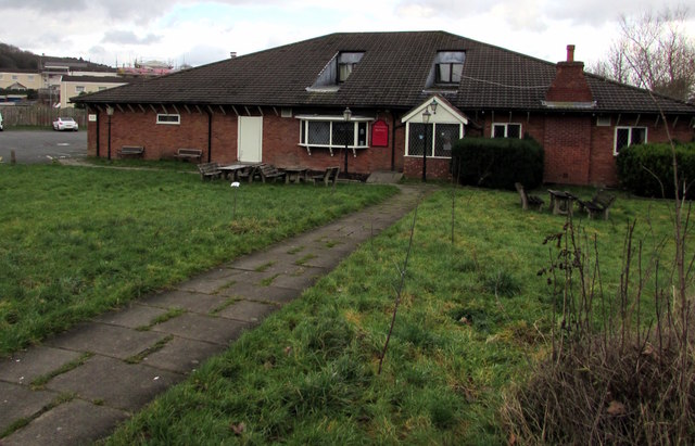
Image: © Jaggery Taken: 1 Feb 2017
From Heol Vaynor below Llanidloes Road, the path leads to the Flying Shuttle, a pub dating from the 1980s.
Images are licensed for reuse under creativecommons.org/licenses/by-sa/2.0
Image Location
Latitude
52.507395
Longitude
-3.333052