Fields Above Musbury
Introduction
The photograph on this page of Fields Above Musbury by Nigel Mykura as part of the Geograph project.
The Geograph project started in 2005 with the aim of publishing, organising and preserving representative images for every square kilometre of Great Britain, Ireland and the Isle of Man.

There are currently over 7.5m images from over 14,400 individuals and you can help contribute to the project by visiting https://www.geograph.org.uk
Fields Above Musbury
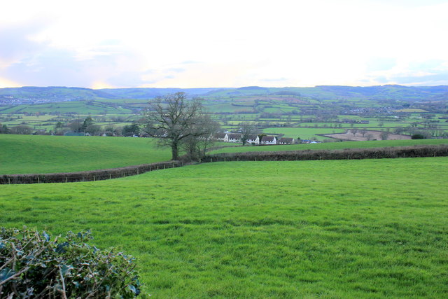
Image: © Nigel Mykura Taken: 27 Jan 2017
The fields are just off the minor road from Musbury to Uplyme. Some of Musbury's houses can be seen in the distance.
Images are licensed for reuse under creativecommons.org/licenses/by-sa/2.0
Image Location
Latitude
50.748051
Longitude
-3.021773