Musbury Village School
Introduction
The photograph on this page of Musbury Village School by Nigel Mykura as part of the Geograph project.
The Geograph project started in 2005 with the aim of publishing, organising and preserving representative images for every square kilometre of Great Britain, Ireland and the Isle of Man.

There are currently over 7.5m images from over 14,400 individuals and you can help contribute to the project by visiting https://www.geograph.org.uk
Musbury Village School
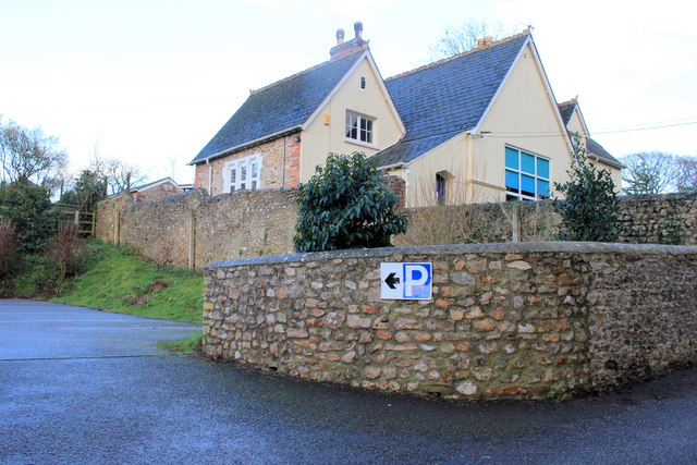
Image: © Nigel Mykura Taken: 27 Jan 2017
The primary school is at the top of Church Hill adjacent to the parish church and it appears to have been recently refurbished. it also has an ample new car park.
Images are licensed for reuse under creativecommons.org/licenses/by-sa/2.0
Image Location
Latitude
50.746282
Longitude
-3.028679