Cross Roads on the A357
Introduction
The photograph on this page of Cross Roads on the A357 by Nigel Mykura as part of the Geograph project.
The Geograph project started in 2005 with the aim of publishing, organising and preserving representative images for every square kilometre of Great Britain, Ireland and the Isle of Man.

There are currently over 7.5m images from over 14,400 individuals and you can help contribute to the project by visiting https://www.geograph.org.uk
Cross Roads on the A357
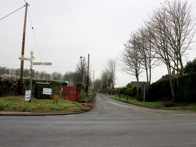
Image: © Nigel Mykura Taken: 26 Jan 2017
The road in the foreground is the A357 just south of Henstridge and the road running away is the minor road to Frith House. It also marks the northern Park Wall of Stalbridge House.
Images are licensed for reuse under creativecommons.org/licenses/by-sa/2.0
Image Location
Latitude
50.970126
Longitude
-2.3896